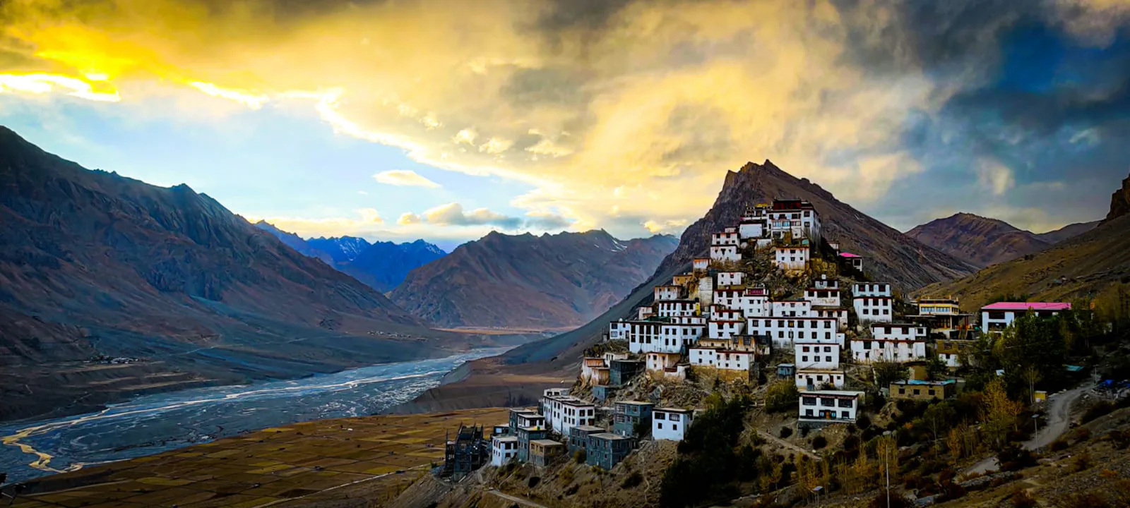
Where Spiti is and why people go
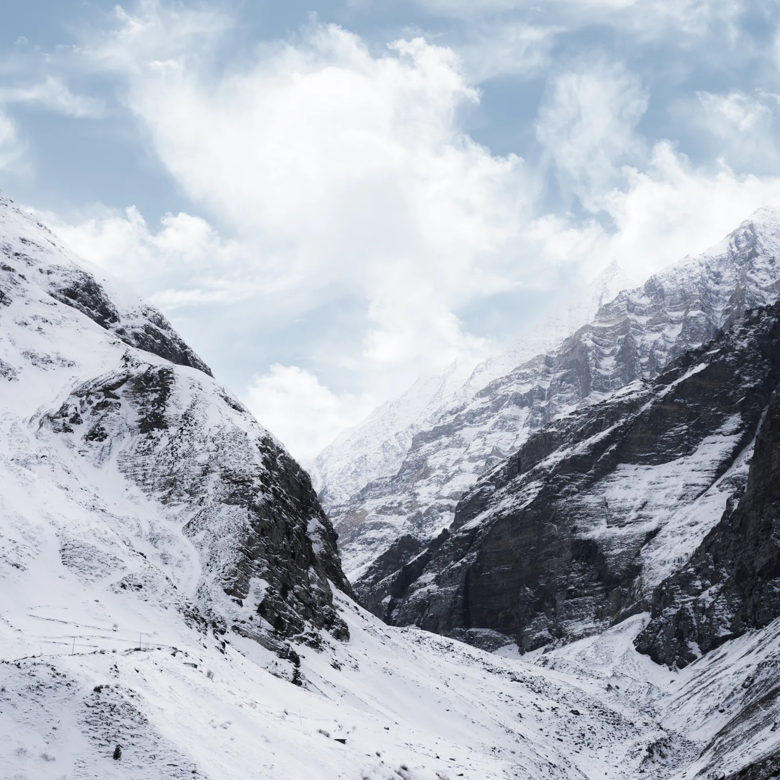
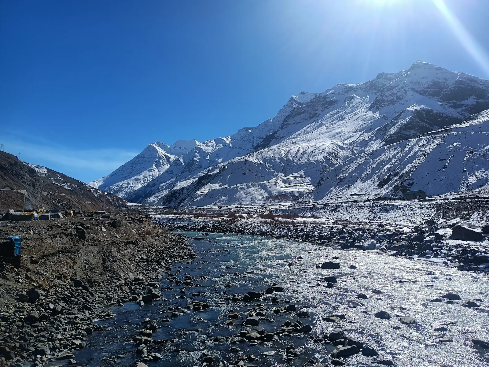
Spiti lies beyond the main Himalayan range, in its rain shadow, which is why it's so dry and why it stays open in summer while Manali and Kinnaur are deep in monsoon cloud. The culture is Tibetan Buddhist, with monasteries that have stood for centuries, and the landscape feels closer to Ladakh or Tibet than to the rest of Himachal.
Travellers come for the scenery and the silence, for monasteries such as Key and Tabo, for the high villages of Kibber, Langza and Komic, for walks and snow-leopard country in winter, and for the road journey itself, which is one of the great drives of the Himalaya.
Getting there: two roads
Spiti has two road connections. The Kinnaur road from Shimla runs along the Sutlej through Rampur and Reckong Peo, then through Nako and Tabo to Kaza: about 410–430 km from Shimla, usually two days, and open for most of the year. The Manali road crosses the Atal Tunnel and Kunzum La, at about 4,550 m: about 180–200 km from Manali, one long day, but only open from roughly June to mid-October.
The usual advice is to go in through Kinnaur and come out through Manali in summer, because the Kinnaur road climbs gradually and helps you adjust to the altitude. Our guide to reaching Spiti compares every route from Delhi, Chandigarh, Shimla and Manali.
- Shimla to Kaza: about 410–430 km, two days, open most of the year
- Manali to Kaza: about 180–200 km, one day, roughly June to mid-October
- Delhi to Kaza: about 720–740 km via Shimla, three days
When to go
June to September is the main season: the roads are open, the days are warm and Spiti stays dry while the monsoon hits the rest of north India. The Kunzum La road from Manali usually opens in late May or June and closes with the first heavy snow in mid or late October. Late September and October are quieter and clear, but cold at night.
In winter, from about November to April, Spiti is very cold and snowbound, and only the Kinnaur road stays open, with closures after snow. Some travellers go for the snow and for snow-leopard tours from Kibber, but it's a trip for the well-prepared.
| Months | Roads | What to expect |
|---|---|---|
| June–September | Both roads usually open | Main season; dry in Spiti, monsoon slides possible in Kinnaur |
| October | Kunzum closes mid to late month | Clear, quiet, cold nights |
| November–April | Kinnaur road only, with closures | Deep cold and snow; winter trips |
| May | Kinnaur road; Kunzum opening | Snow still around; variable |
Permits
Indian citizens don't need a permit for Spiti. Foreign nationals need a Protected Area Permit for the stretch of upper Kinnaur beyond Jangi and for Spiti, because the area is close to the Tibet frontier. Travellers report that it's issued in person, usually at the SDM office in Reckong Peo on the way in from Shimla, or at offices in Shimla, Keylong or Kaza. Our permits guide has the details.
Altitude
Kaza is at about 3,650 m, and the villages above it are higher: Kibber and Langza are well above 4,000 m. Headaches, poor sleep and breathlessness are common on the first night. Climb gradually, rest on arrival, drink plenty of water and avoid alcohol for the first days. Severe headache, vomiting, breathlessness at rest or confusion are warning signs: descend and get help. Talk to a doctor before the trip if you have heart or lung conditions.
Places to see around Kaza
Most visitors base themselves in Kaza and spend two to four days on day trips. Distances below are approximate road distances from Kaza.
| Place | From Kaza | Why go |
|---|---|---|
| Key monastery | About 12–15 km | Spiti's best-known gompa, on a ridge above the river |
| Kibber | About 19 km | High village and gateway to snow-leopard country |
| Langza | About 18 km | Large Buddha statue and fossil-bearing slopes |
| Komic and Hikkim | About 25 km | High villages; Hikkim's post office is a popular stop |
| Dhankar | About 30–35 km | Old monastery and fort on a cliff, with a small lake above |
| Tabo | About 45–50 km | Ancient monastery complex with old murals |
| Pin valley | About 40–50 km | Side valley and national park, quieter and greener |
A sample route
A classic nine- to ten-day trip from Chandigarh: Narkanda, then two nights in Sangla with a day trip to Chitkul, a night in Kalpa, the long day through Nako and Tabo to Kaza, two or three days around Kaza, then out over Kunzum La to Manali, with an optional night at Chandratal, and back to Chandigarh. It gives your body time to adjust and shows both Kinnaur and Spiti. Our Spiti Valley Circuit follows this plan with one car and driver throughout.
Getting around and practical tips
There's no public transport to most of the villages around Kaza beyond a few local buses, so most visitors travel with a car and driver. We send SUVs, Innovas and Tempo Travellers only; sedans aren't suitable for Spiti's roads. Carry cash, because ATMs are limited to Kaza and Reckong Peo, and download offline maps, since mobile networks are patchy. Fuel is available in Kaza and Reckong Peo but not for long stretches between. Pack warm layers even in summer, and sun protection for the strong high-altitude sun.
- SUV or Innova, not a sedan
- Cash and offline maps
- Warm layers and sunscreen, even in July
Frequently asked questions
Where is Spiti valley?+
In the north-east of Himachal Pradesh, in the district of Lahaul and Spiti, close to the Tibet frontier. Its main town is Kaza, at about 3,650 m.
What is the best time to visit Spiti?+
June to September, when both roads are usually open and Spiti stays dry. October is quieter and colder.
How many days do we need for Spiti?+
At least seven to ten days from Chandigarh or Delhi, to allow for the long drives and acclimatisation.
Do we need a permit for Spiti?+
Indian citizens don't. Foreign nationals need a Protected Area Permit, usually arranged in Reckong Peo.
Is Spiti open in winter?+
Only through Kinnaur from Shimla, and with closures after snow. It's very cold; plan carefully.
Can we visit Spiti in a sedan?+
We don't recommend it. Rough stretches and stream crossings need an SUV or Innova.